


| About | Maps and Graphics |
| Scientific Staff and Areas of Study | International Cooperation |
| Scientific Achievements | Publications |
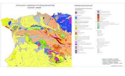
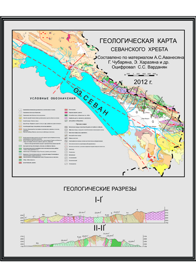
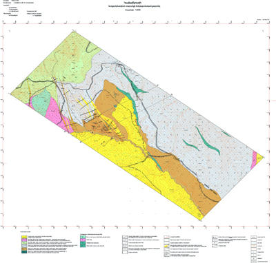
Maps and Graphics
| About | Maps and Graphics |
| Scientific Staff and Areas of Study | International Cooperation |
| Scientific Achievements | Publications |
Maps and Graphics