


| About Laboratory | Maps and Graphics |
| Scientific Staff and Areas of Study | International Cooperation |
| Scientific Achievements | Publications |
| Seismology |
Maps and Graphics
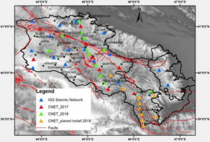
Network of Seismological Observations of the IGS NAS RA
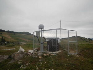
General view of a seismic and GPS station in field
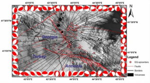
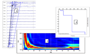
Results of Seismological and Geodynamic Network Data Processing
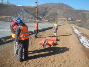
Geophysical field measurements (MASW, geo-radar, and GPS sessions)
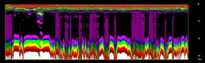
Results from the processing of geophysical measurement data (multi-channel analysis of surface waves (MASW), an anomaly identified by geo-radar survey)
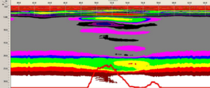
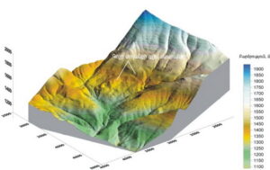
Landslide stability calculation (the most unstable site is indicated in red color)
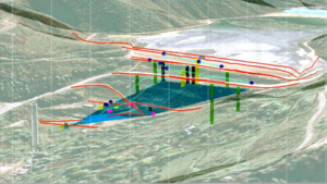
Generalized piezometric level of ground waters
Three-dimensional model of a water reservoir and general view of information layers
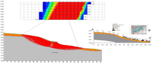
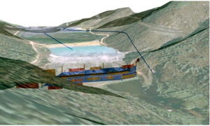
The 3D model of the landslide and the surrounding area
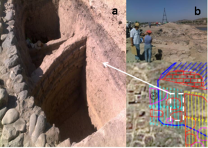
Archeological sites identified as promising by geo-radar surveys and the results of their excavation